Environmental
Remote Sensing Mapping
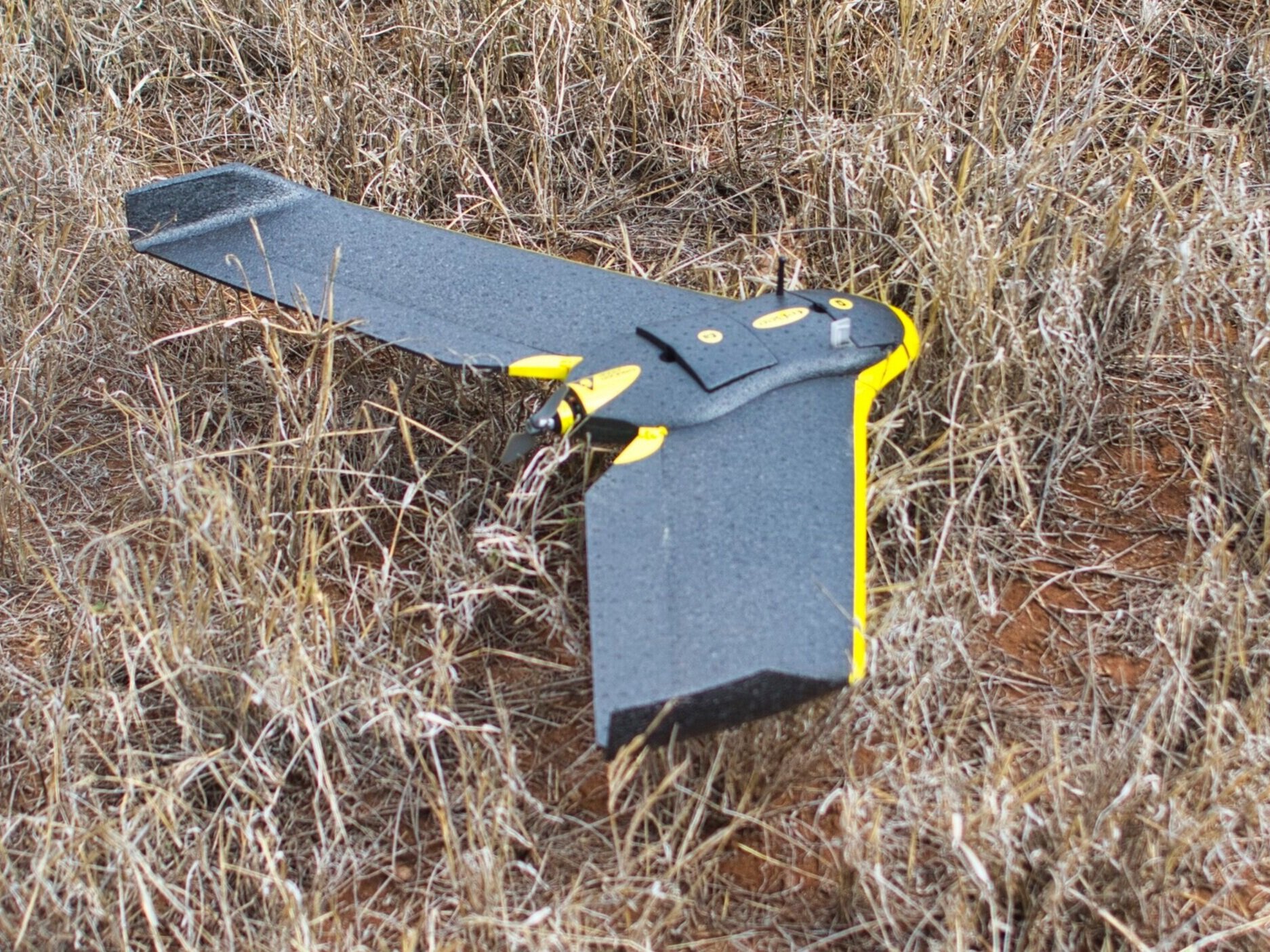
Timely observations by Earth Observation (EO) satellite, Manned and Unmanned Airborne systems and improved mapping and analytic tools are enabling a better understanding of the ecological and environmental interactions that underlie our Earth systems. The team from Ecosystem Services have been working in this field for a number of years. Environmental Remote Sensing and mapping is considered to be one of the company's core competencies. Examples of projects undertaken include:
In terms of land-cover mapping, Ecosystem Services have been involved in a number of Land-Cover mapping exercises; from field assessment with the South African land-cover mapping project in the late 1990s, to project managing the New Zealand Land Use and Carbon Analysis System (LUCAS) national mapping project through to financing and advising on the Efate, Vanuatu Land Cover map.
Research and development of the New Zealand LiDAR (Light Detection and Ranging) of planted forests in order to model tree above ground biomass for the purposes of Carbon accounting.
Download - LiDAR Paper 1
Download - LiDAR Paper 2
Develop the remote sensing-based forest identification procedures for the New Zealand Ministry of Agriculture and Forestry, now Ministry of Primary Industries (MPI) for the New Zealand Emissions Trading Scheme (NZETS).


